Upper Palatine Hills
The Upper Palatine Hills is a Hercynian range of rolling hills (Hügelland) and valleys running from the Upper Palatine-Bavarian Forest in the (north-)east and the Franconian Jura in the (south-)west. It lies mostly within the Bavarian province of Upper Palatinate, hence the name. The range, which is oriented northwest to southeast, is about 100 kilometres long, but only between 7 and 35 kilometres wide and covers and area of 2,000 km2. The best known settlements are Weiden (Ostrand), Amberg and Schwandorf.
Read article
Top Questions
AI generatedMore questions
Nearby Places

Battle of Amberg
1796 battle during the War of the First Coalition

Amberg
Town in Bavaria, Germany
Gregor-Mendel-Gymnasium Amberg
Public gymnasium in Amberg, Bavaria, Germany

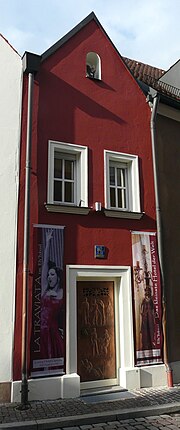
Eh'häusl

Stadttheater Amberg

Electoral Palace, Amberg

Amberg station
Railway station in Amberg, Germany

Ostbayerische Technische Hochschule Amberg-Weiden
State university of applied sciences in Germany